Every vehicle and asset, live — and every journey behind it.
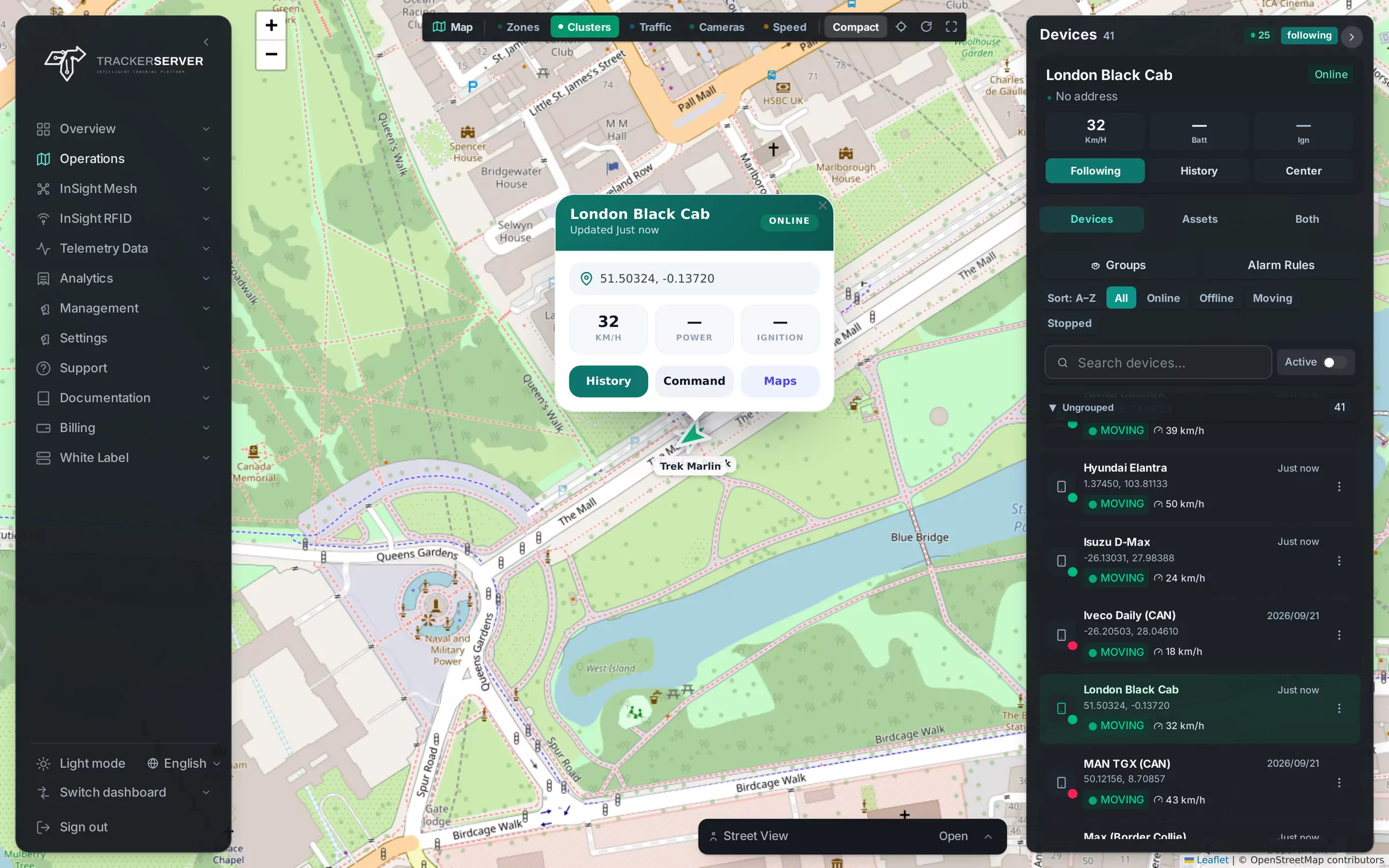
The live map, and everything around it.
Live map and device list
Every device's position, speed, ignition and status, with a list to search, filter and group the fleet, and clusters that open as you zoom in.
Follow a vehicle
Keep one vehicle in the middle of the map as it moves, with its details and sensors beside it.
Street View and map types
Street View at the vehicle's position, and the road map, satellite or hybrid imagery.
Traffic, cameras and limits
Traffic, speed cameras and road speed limits as layers on the live map.
Commands
A library of saved device commands, and one click to send one — immobilise, for instance — to any vehicle.
Dashboards
A drag-and-drop workspace of live tiles — availability, utilisation, alerts and safety — arranged the way each user runs the fleet.
Replay any journey, stop by stop.
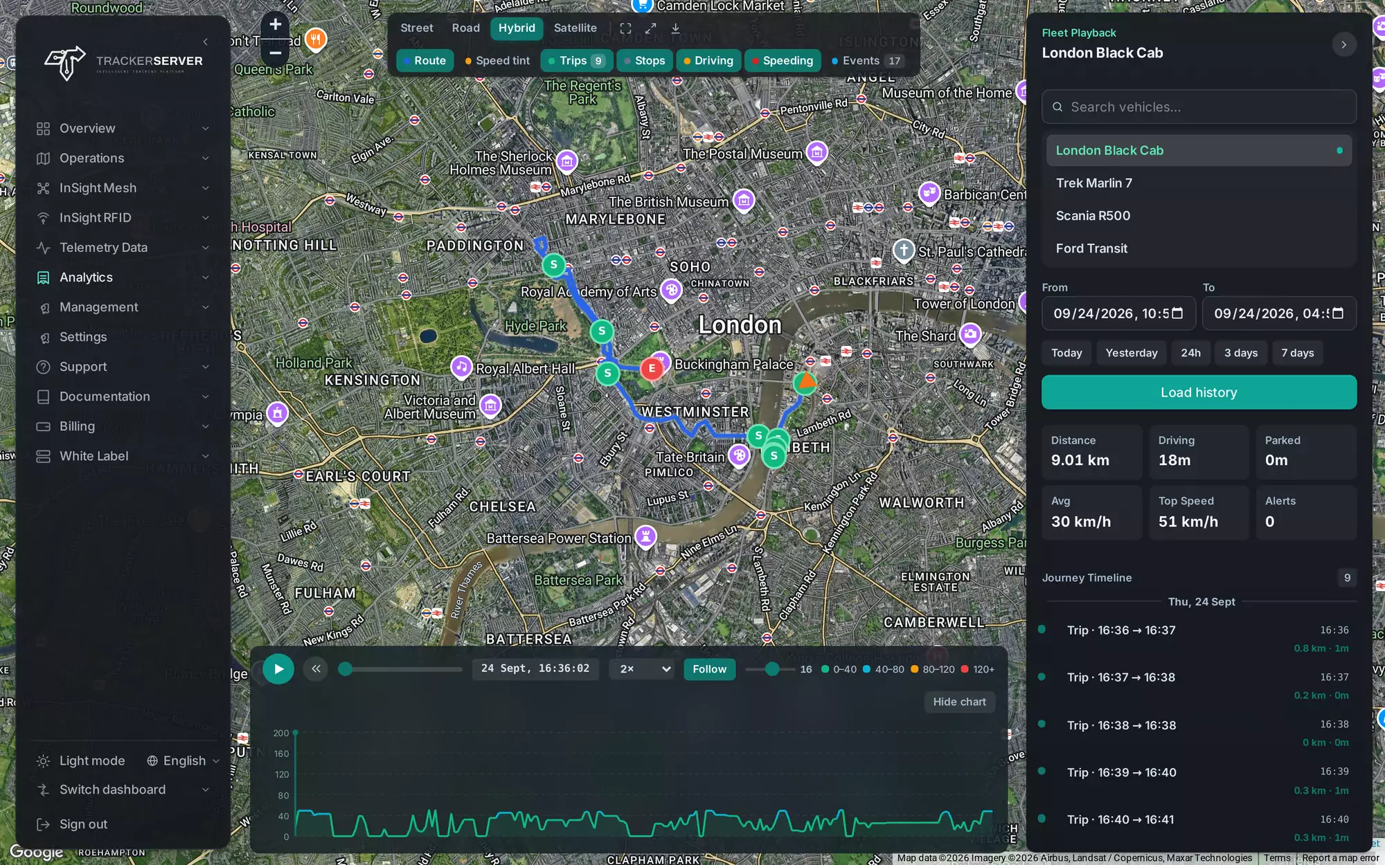
Pick a vehicle and a period and the route plays back on the map, coloured by speed, with every trip and stop along it and a speed chart underneath.
Harsh-driving and speeding overlays show where it happened, and the journey timeline lists each trip with its distance and time.
Geofences
Draw zones on the map — depots, sites, no-go areas — link them to vehicles or groups, and get an alert when a vehicle enters or leaves, on the schedule you choose.
Shared links
Share a live tracking link for one vehicle or several, by WhatsApp, email or a copied link. Every link is temporary and can be revoked, and the person you send it to sees only what you shared — no account needed.
Works with
Launch your own tracking brand.
A dedicated server with every module, your logo, domain and emails — usually live within 24 hours.